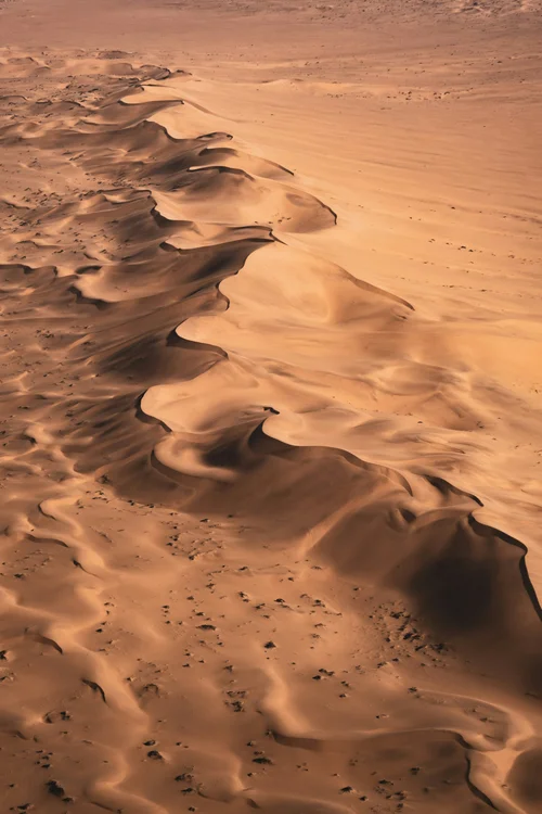
Document landscapes efficiently
Drone work can create repeatable visual records for teams managing large or remote areas.
- Habitat and landscape documentation
- Erosion and water-feature imagery
- Access and infrastructure overviews
- Repeat monitoring photography
- Research-support imagery and maps
Wildlife welfare comes first
Species, breeding activity, terrain, altitude, noise and flight path all affect risk. Flights should be conservative, permission-led and stopped if wildlife shows signs of disturbance.
Built around the research question
A useful environmental flight starts with the intended observation and data requirements. Methodology, repeatability, permissions and data handling should be agreed with the project team before collection.
Frequently asked questions
Can drones be used near wildlife?
Only when the operation is permitted and can be conducted responsibly. Species sensitivity and animal behaviour must guide the decision.
Can you repeat environmental surveys?
Yes. Repeatable coverage can support change documentation when timing, methodology and required accuracy are agreed in advance.