 01
Mapping & surveying
Drone Mapping Namibia
Professional drone mapping, orthomosaic imagery and aerial site documentation for farms, developments and remote projects across Namibia.
Learn more →
Knowledge from the field
Practical information about drone mapping, aerial photography, agricultural services, inspections, livestock monitoring, pricing and responsible drone operations throughout Namibia.
Created for farmers, lodge owners, developers, engineers, conservation organisations and property owners making decisions from above.
01Mapping & surveying
Professional drone mapping, orthomosaic imagery and aerial site documentation for farms, developments and remote projects across Namibia.
Learn more → 02
Agriculture
Practical aerial services for Namibian farms, including fence lines, water points, roads, infrastructure, livestock and property documentation.
Learn more → 03
Farm operations
Aerial livestock location and monitoring services that help Namibian farmers cover large properties more efficiently.
Learn more →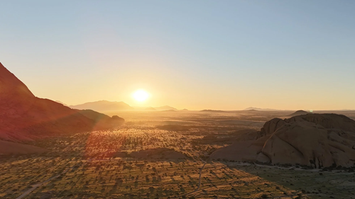 04
Infrastructure
Safer aerial inspections for roofs, infrastructure, construction sites and remote assets throughout Namibia.
Learn more →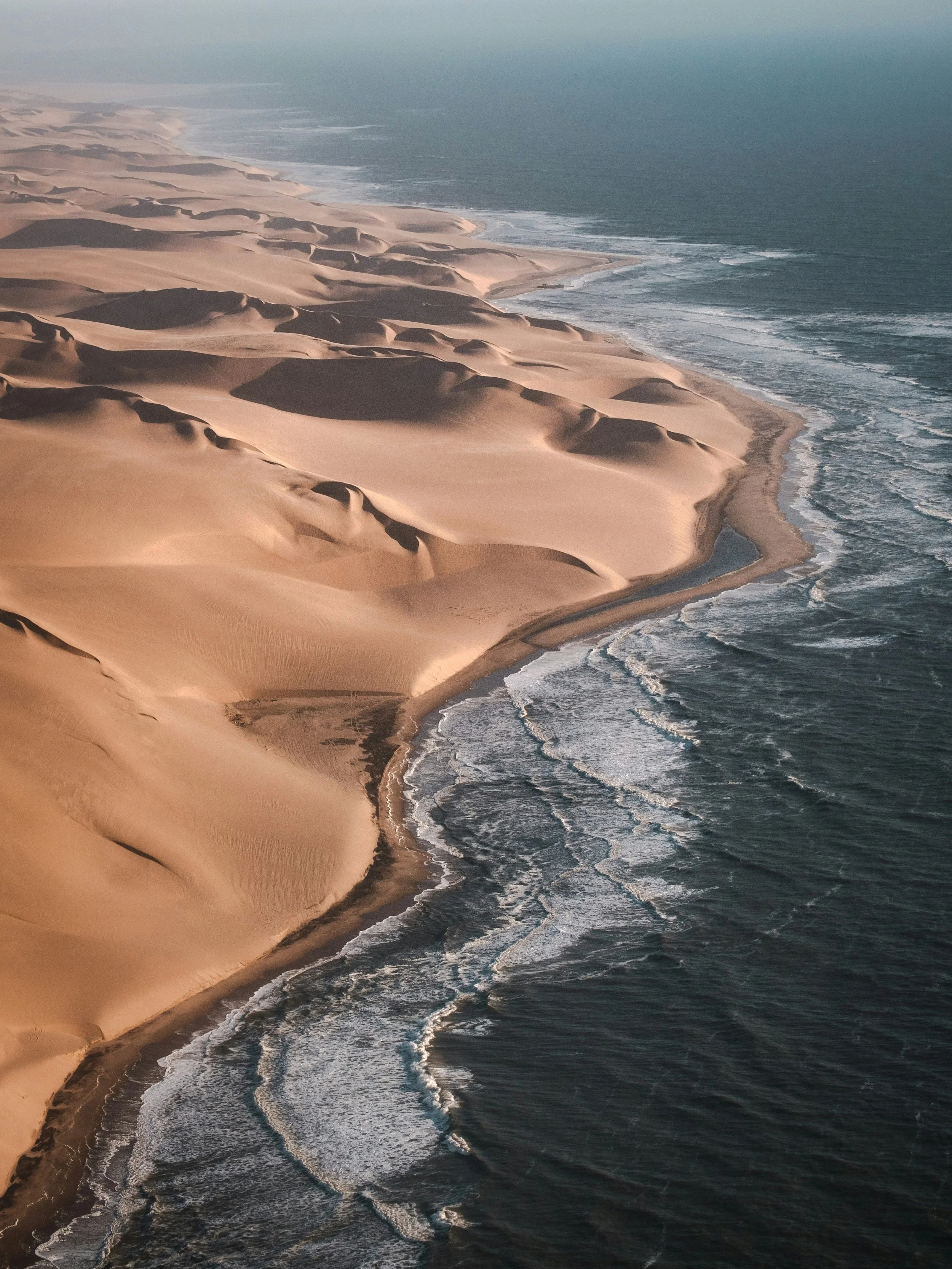 05
Photography & video
Cinematic aerial photography and video for Namibian lodges, safari operators, destinations and tourism campaigns.
Learn more →06Windhoek & nationwide
Professional aerial photography, video, mapping and inspection services in Windhoek and throughout Namibia.
Learn more →07Planning & pricing
A practical guide to the factors that affect drone mapping prices in Namibia, from site size and travel to outputs and accuracy requirements.
Learn more →08Safe operations
An introductory guide to responsible commercial drone operations, permissions, airspace and safe flight planning in Namibia.
Learn more →09Construction
Repeatable aerial photography and video for construction progress records, stakeholder updates and remote project oversight in Namibia.
Learn more →10Property marketing
Aerial property photography and video for homes, farms, lodges, developments and commercial real estate across Namibia.
Learn more →11Asset inspection
High-resolution aerial documentation for roofs, solar arrays, towers and hard-to-access infrastructure across Namibia.
Learn more →12Mining & industrial
Aerial site documentation, mapping and progress imagery for mines, quarries and remote industrial projects in Namibia.
Learn more →13Conservation
Responsible aerial mapping and documentation for conservation, habitat, environmental and research projects across Namibia.
Learn more →14Mapping explained
Understand orthomosaic maps, photogrammetry outputs and the planning required for useful aerial mapping projects in Namibia.
Learn more →15Choosing a service
A clear guide to the difference between aerial site imagery, drone mapping and professional surveying for projects in Namibia.
Learn more →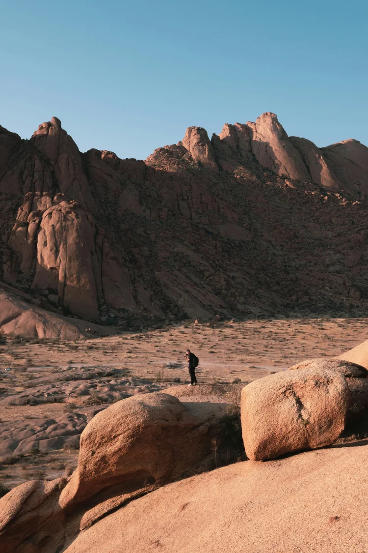 16
Planning & pricing
What affects the price of professional drone photography and video projects in Namibia, including travel, permissions, editing and deliverables.
Learn more →17Namibian coast
Professional aerial photography, video, mapping and inspection support for coastal projects in Swakopmund and Walvis Bay, Namibia.
Learn more →18Events
Professional aerial photography and video for outdoor events, activations, races and destination experiences in Namibia.
Learn more →19Completed work
See aerial photography, tourism content, landscape documentation and surveying projects completed across Namibia.
View projects →Need advice for a specific site?